Construction Progress Monitoring
"Know exactly how your project is progressing—without having to be on the site."
See Your Project From Above. Track Progress With Confidence.
Professional aerial documentation for construction teams, developers, owners, contractors, and project managers.
Eye in the Sky LLC Drone Services provides recurring aerial data collection that gives your team a consistent visual record of construction progress—from site preparation through completion.
Whether you need weekly, bi-weekly, monthly, or milestone-based documentation, we capture the information you need to monitor your project without putting personnel in the field.
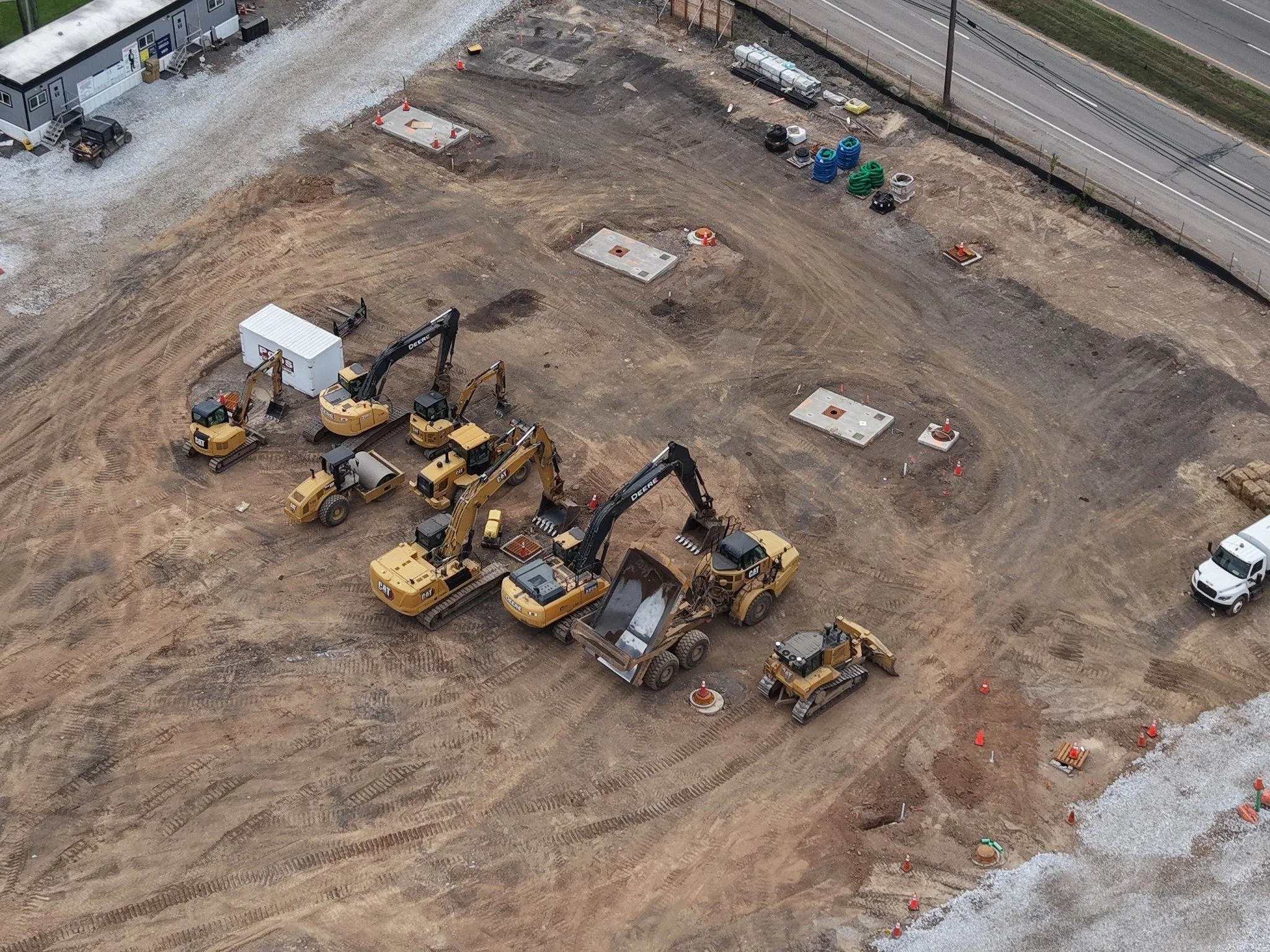
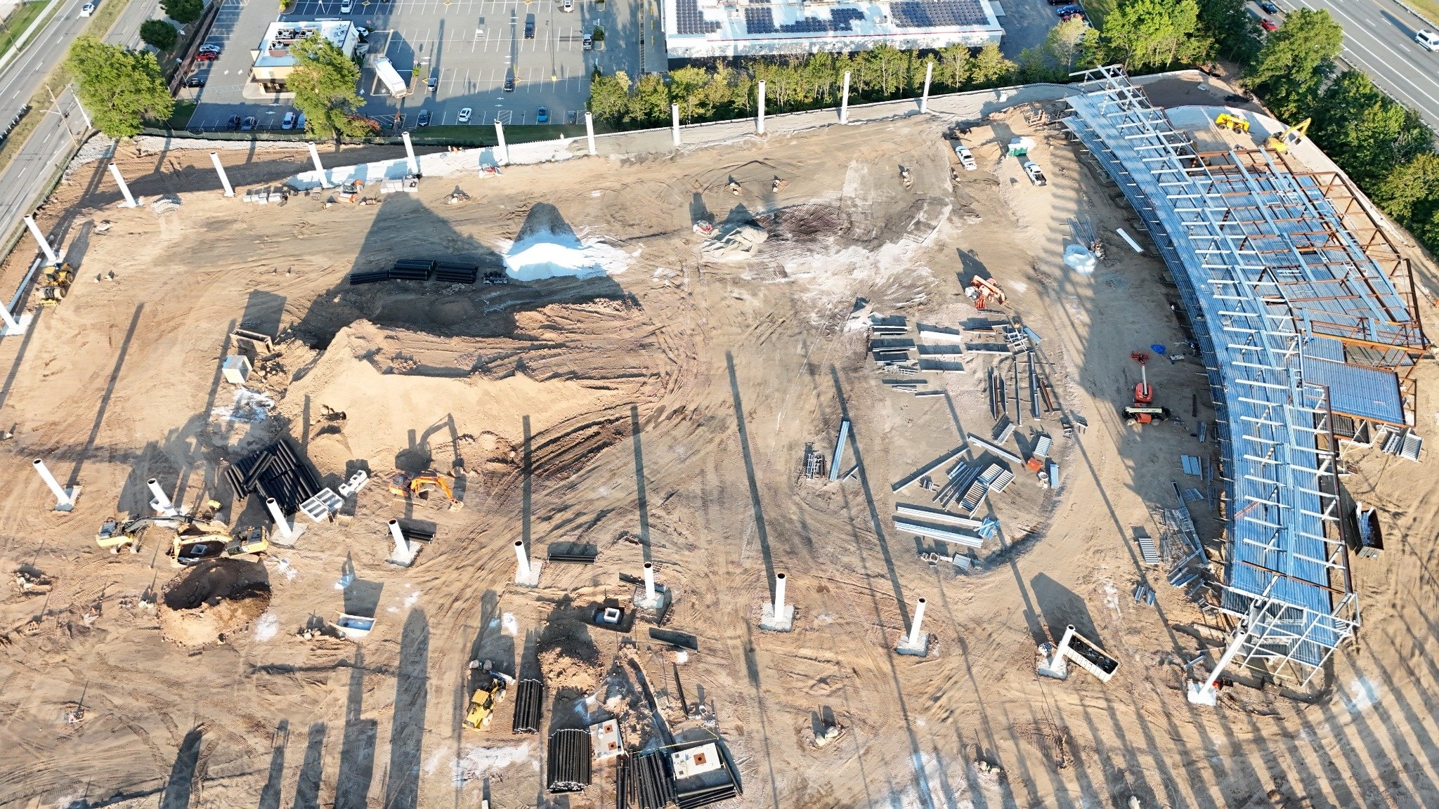
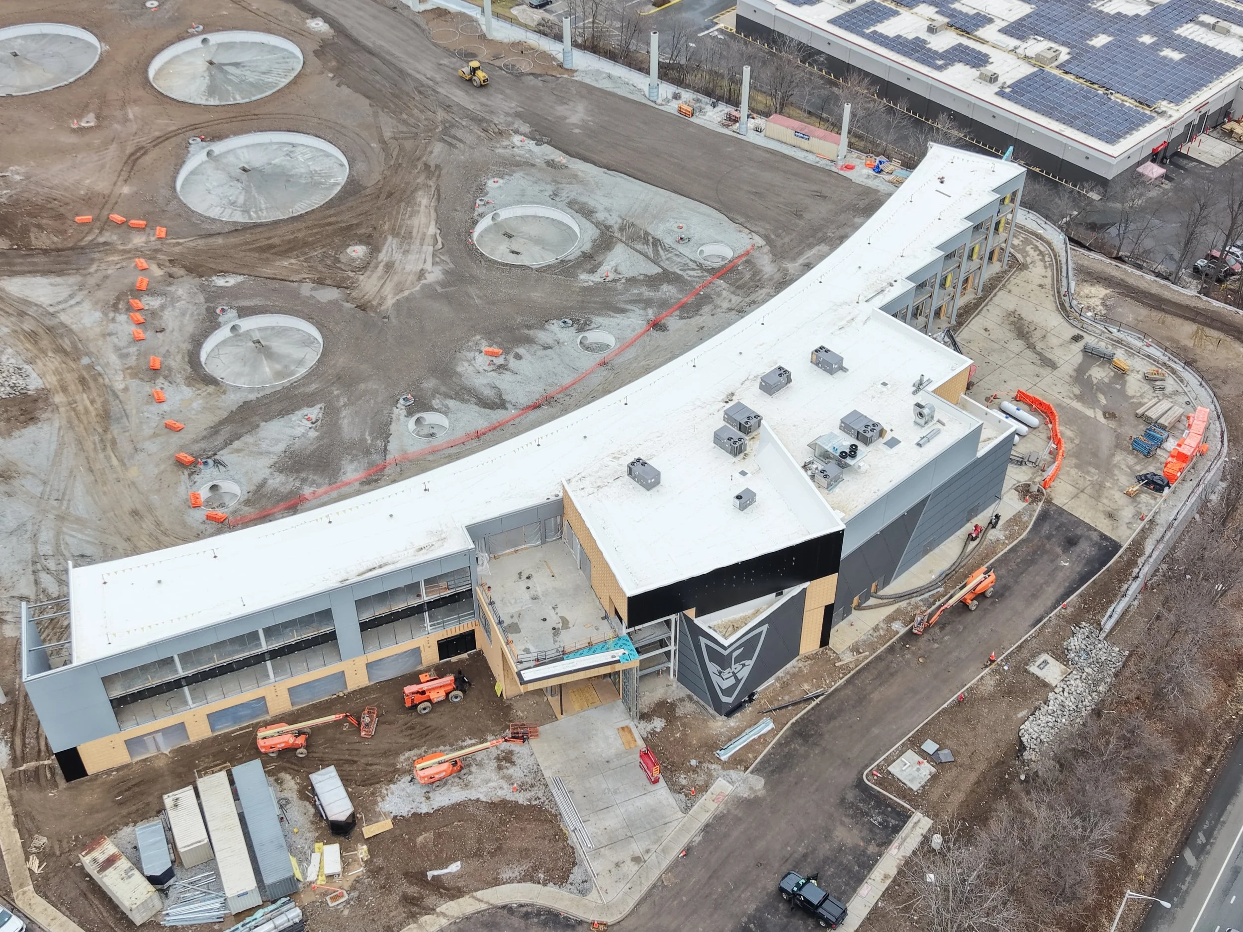
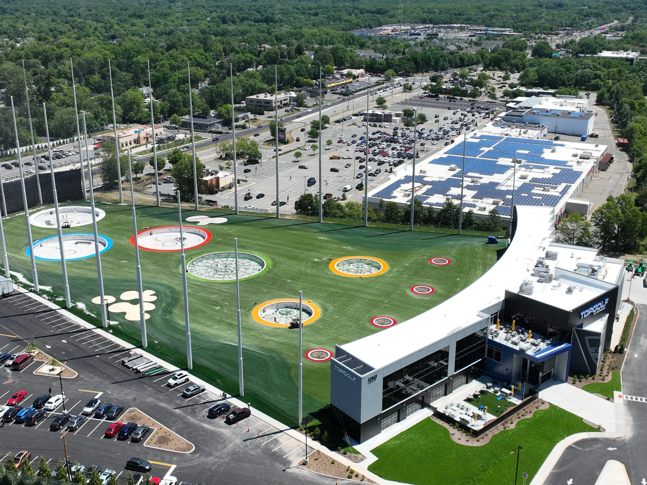
Turn Construction Activity Into Usable Project Documentation
Construction projects change every day.
Materials arrive. Structures go up. Roofing is installed. Utilities are completed. Contractors move through different phases of the project.
Our job is to capture those changes consistently and accurately.
We provide aerial documentation that can help your team:
📸 Document Progress
Create a visual timeline of your project from groundbreaking to completion.
🔍 Verify Work
Provide aerial imagery that helps project managers and stakeholders see what has been completed.
📋 Maintain Project Records
Create organized documentation for internal records, reporting, and project communication.
🤝 Improve Communication
Give owners, developers, contractors, architects, and stakeholders a common visual reference.
⚠️ Identify Issues
Aerial imagery can help identify site conditions, access issues, material placement, drainage concerns, and other visible conditions that may warrant attention.
One Flight. Multiple Departments.
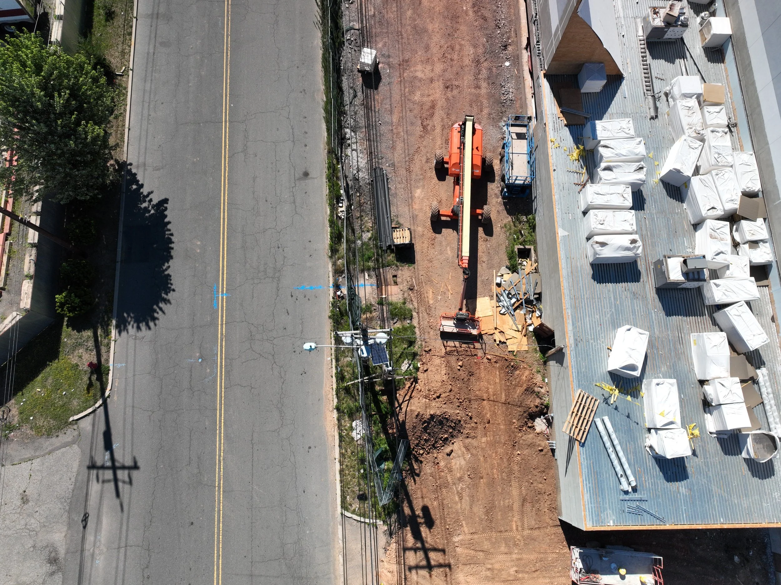
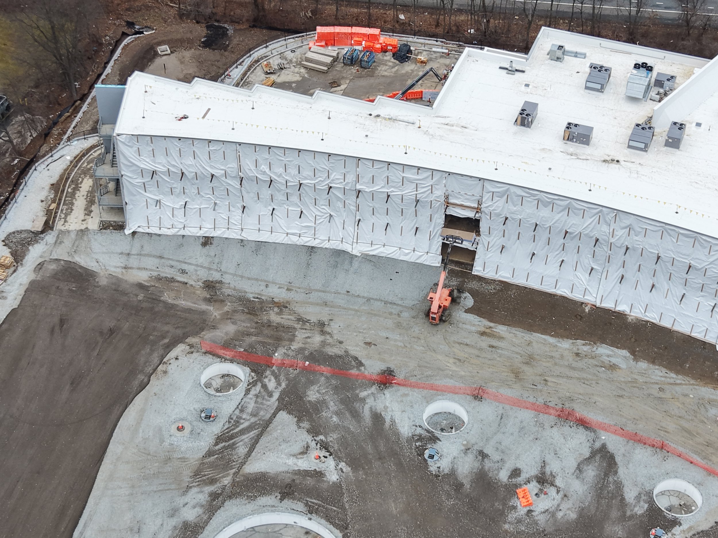
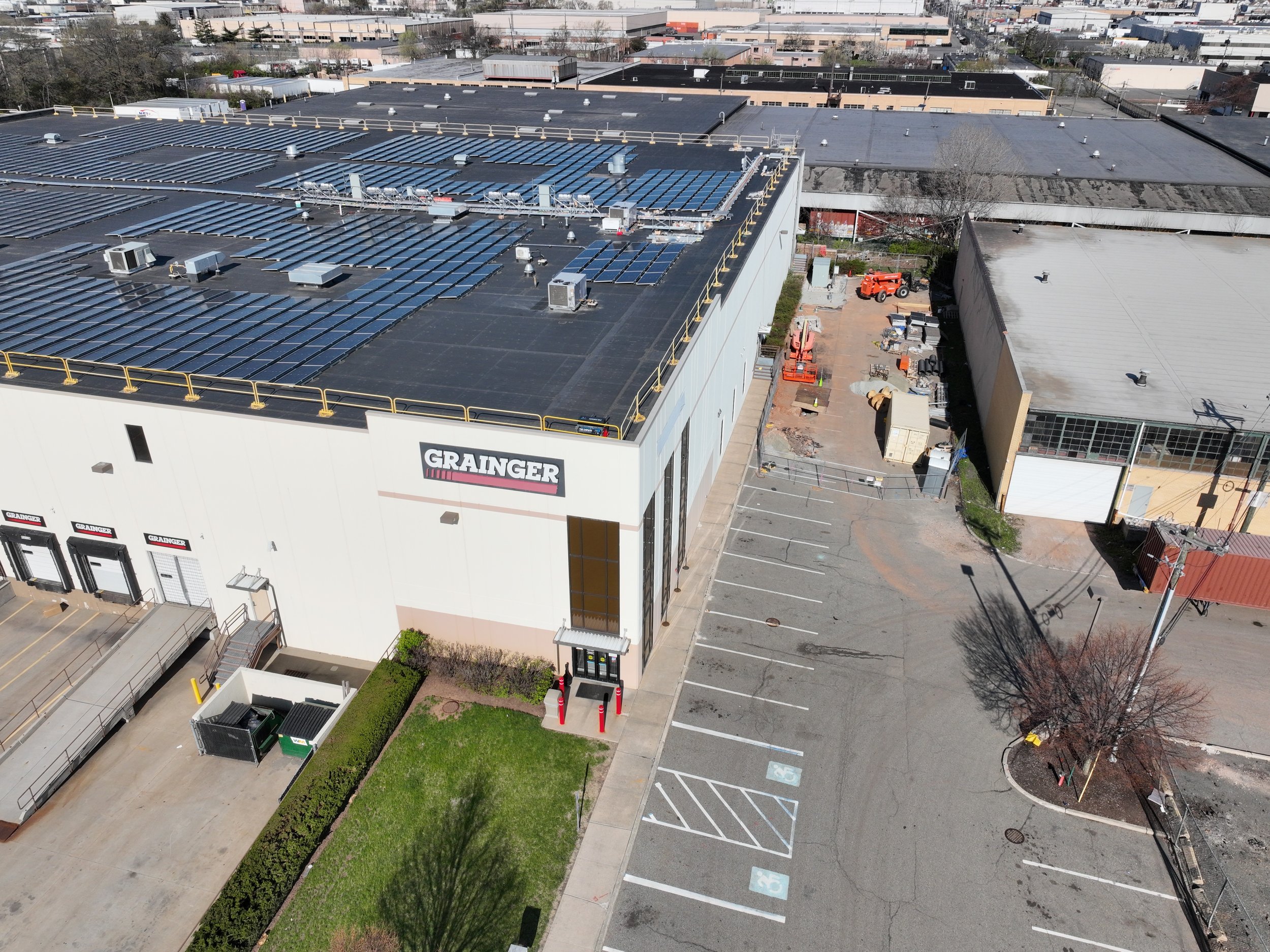
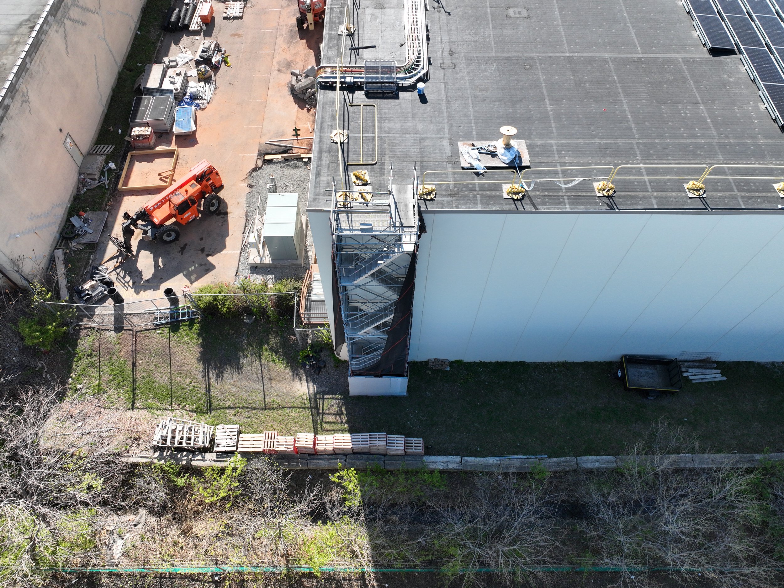
One of the biggest advantages of construction drone documentation is that the same data can serve multiple departments.
Your aerial collection may be useful to:
Project Management
Track overall progress and milestones.
General Contractors
Document completed work and site conditions.
Roofing Contractors
Monitor roof installation and completion.
Solar Contractors
Evaluate rooftops and prepare for future installations.
Developers & Owners
Maintain a visual record of the project.
Architects & Engineers
Review visible site and structural progress.
Insurance & Risk Management
Maintain documentation of project conditions.
Marketing Departments
Showcase project development and completed work.
Consistency Is the Key
A single aerial photograph is useful.
A consistent series of aerial collections is far more valuable.
We can establish repeatable flight parameters so your project can be documented from similar:
Flight locations
Altitudes
Camera perspectives
Flight locations
Altitudes
Camera perspectives
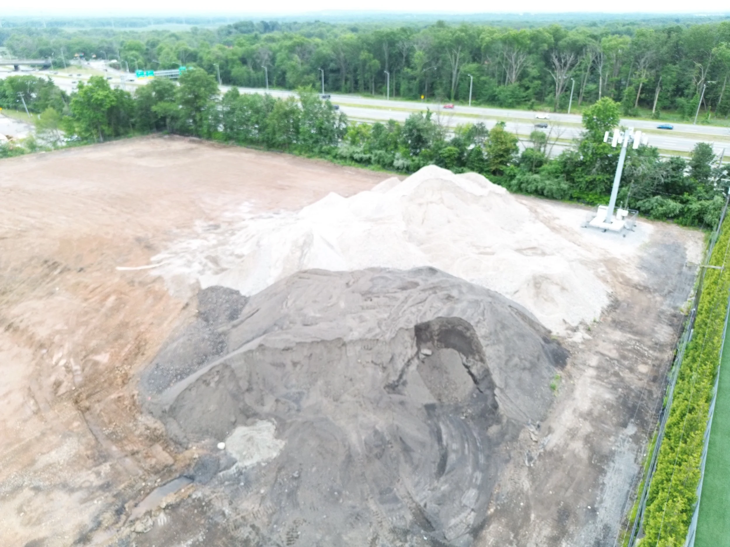
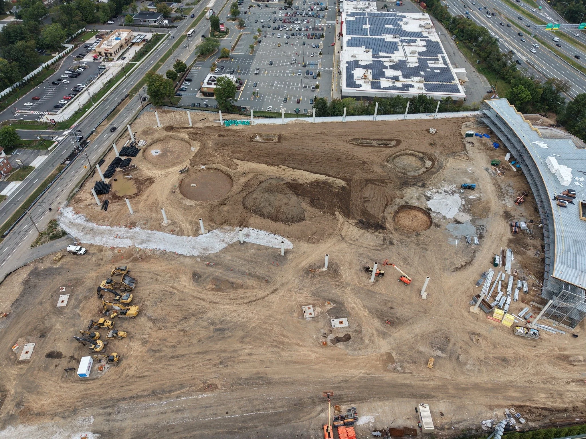
This creates a visual progression of your project, allowing stakeholders to compare current conditions with previous stages.
More Than Just Pictures
Depending on project requirements, our construction data collection can include:
Aerial Video
Dynamic footage for presentations, project updates, and marketing.
Orthomosaic Mapping
Georeferenced aerial imagery providing a detailed overhead view of the site.
3D Modeling
Create detailed visual representations of structures and site conditions.
Site Documentation
Capture specific areas, structures, equipment, and construction milestones.
Custom Data Collection
We can build the mission around what your project actually needs.
Built for Commercial Construction
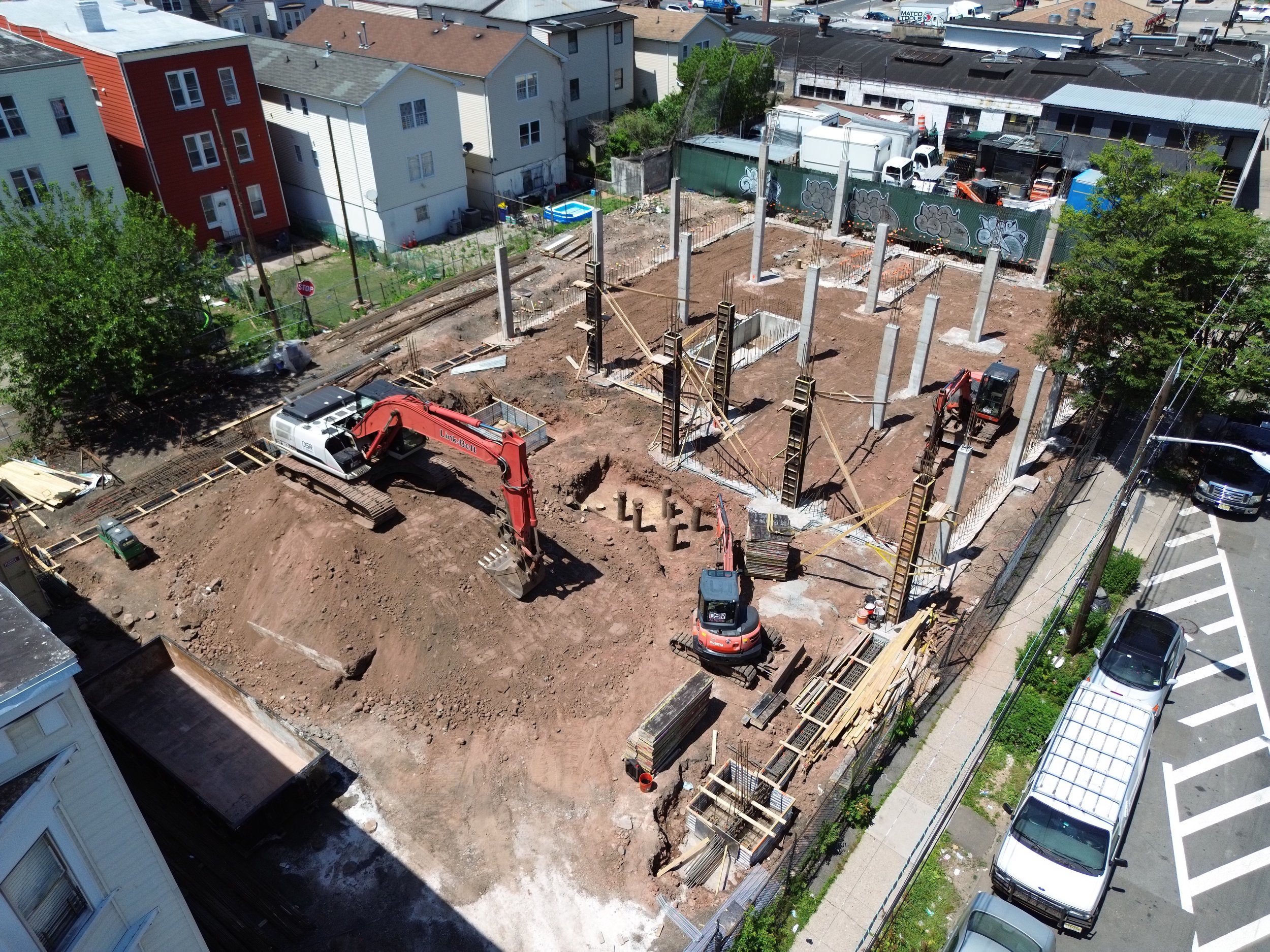
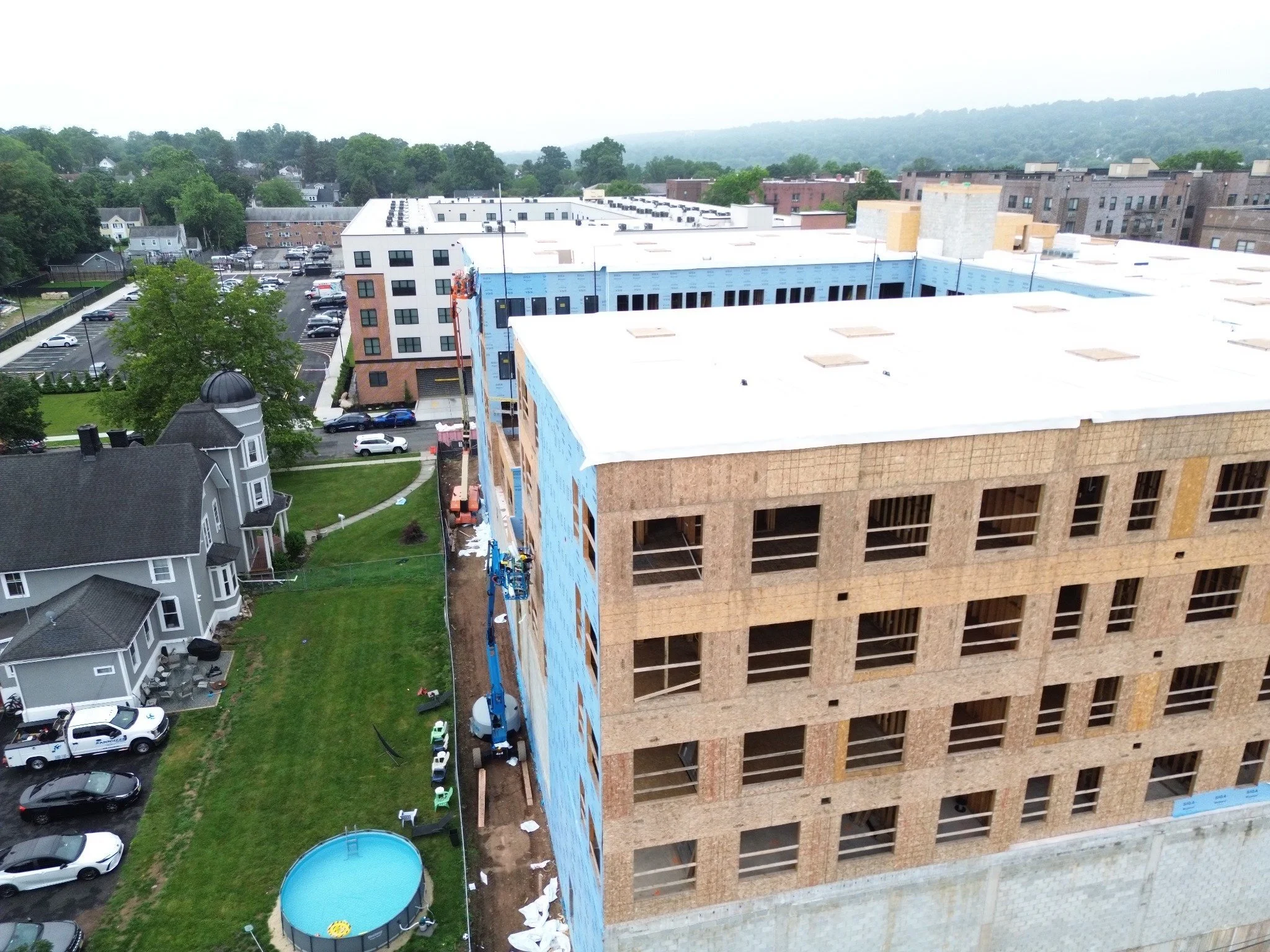
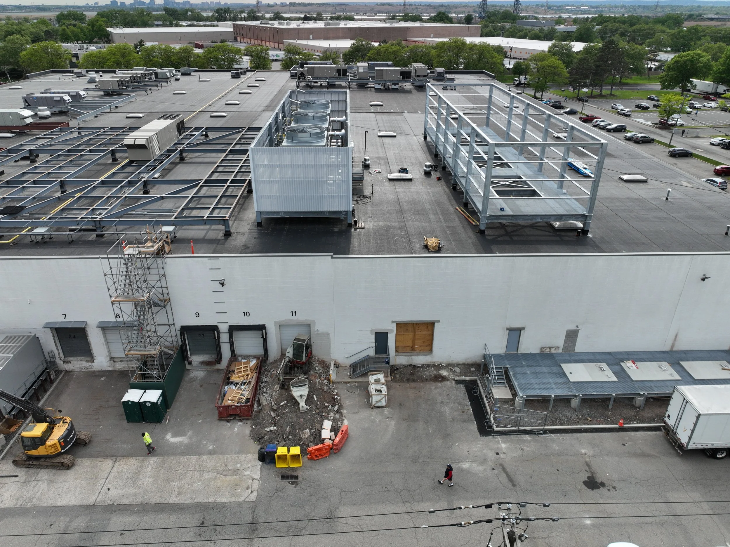
Eye in the Sky LLC Drone Services regularly works with commercial and industrial environments, including large facilities, warehouses, construction sites, and complex operating environments.
Our experience includes operations around controlled airspace and major airports, where construction projects frequently exist in environments that require additional planning.
Your project doesn't have to be in unrestricted airspace for us to operate.
We evaluate the airspace, site conditions, operational requirements, and mission objectives before the aircraft launches.
Why Eye in the Sky?
✈️ 25+ Years of Aviation Experience
Our aviation background goes far beyond operating drones.
🛩️ FAA Part 107 Remote Pilot
Professional commercial UAS operations conducted within FAA requirements.
📡 Controlled Airspace Experience
Experience operating around Class B, C, D and E airspace, including complex Northeast airspace environments.
🎯 Repeatable Data Collection
We don't simply show up and take random photographs. Missions can be planned around your project's specific documentation requirements.
🏗️ Commercial Experience
We understand that construction documentation needs to serve project managers, contractors, owners, developers, and other stakeholders.
📊 Data With a Purpose
Our goal isn't to give you hundreds of photographs.
Our goal is to give you useful information.
Your Construction Site Is Changing.
Make Sure You Have a Record of It.
Whether you need documentation once a month, every week, or at specific project milestones, Eye in the Sky LLC Drone Services can build a collection program around your project.
Don't wait until the project is finished to realize you needed better documentation.
Start building your aerial project record today.
[ REQUEST A CONSTRUCTION MONITORING QUOTE ]